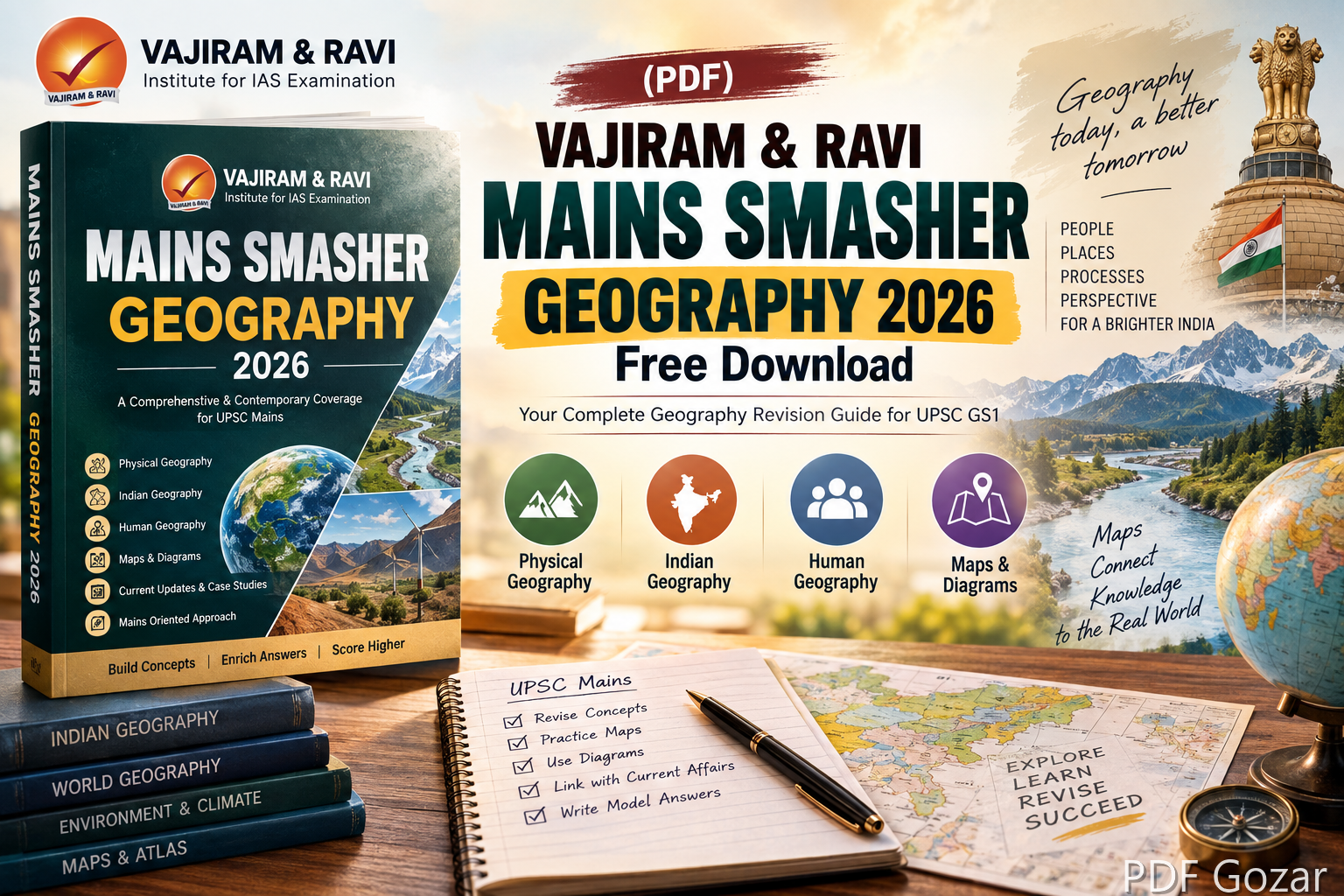
Geography in UPSC Mains rewards clarity, diagrams, and location sense. The Vajiram & Ravi Mains Smasher Geography 2026 PDF is a compact revision tool for GS Paper 1 themes: physical geography, Indian geography, and human geography. Use it after you finish NCERTs and a standard source, when you need faster recall and cleaner answer structure.
PDF Gozar shares free Education material for UPSC and State PCS. This post shows how to revise Geography with the Mains Smasher, how to add maps, and how to avoid common GS1 mistakes.
PDF details#
| Field | Details |
|---|---|
| PDF Name | Vajiram & Ravi Mains Smasher Geography 2026 |
| Publisher | Vajiram & Ravi |
| Subject | Geography (Physical, Indian, Human) |
| Paper | UPSC GS Paper 1 |
| Language | English |
| Format | |
| Best for | Mains revision, map enrichment, concept compression |
What this PDF should help you revise#
Expect theme blocks such as:
- Geomorphology: landforms, earthquakes, volcanoes, weathering
- Climatology: atmosphere, monsoons, cyclones, climate change links
- Oceanography: currents, tides, marine resources
- Indian physiography: Himalayas, plains, plateaus, coasts, islands
- Drainage, climate, soils, natural vegetation of India
- Resources, agriculture, industry, transport
- Population, settlement, regional development, urbanisation
The Smasher style works best when you convert each theme into definitions, processes, examples, and one India application.
Syllabus-to-notes map#
- Earth systems — endogenic and exogenic processes
- Climate systems — pressure belts, jet streams, monsoon mechanism
- Indian physical setting — structure, relief, drainage
- Resources — water, minerals, energy, forests
- Agriculture — cropping patterns, irrigation, issues, reforms
- Industries and infrastructure — location factors, corridors, ports
- Human geography — population dynamics, migration, cities
- Environment interface — disasters, climate vulnerability, sustainable development
For every topic, keep a mini template: concept → process → example → India case → diagram cue.
14-day Geography revision plan#
Days 1–3: Physical geography core (landforms, climate, oceans)
Days 4–6: Indian physiography, climate, soils, vegetation
Days 7–9: Resources and agriculture
Days 10–11: Industry, transport, trade
Days 12–13: Population, urbanisation, regional planning
Day 14: Map practice + 5 timed answers
Draw at least one rough map every day. Even a simple India outline with 4–5 labels lifts presentation marks.
How to write Geography answers with this PDF#
- Start with a precise definition or process statement.
- Use cause–process–effect flow for physical questions.
- Add one diagram (cycle, cross-section, distribution map).
- Give India-specific data or regions in human/economic questions.
- Close with a sustainability or policy angle when relevant.
Do not fill answers with only definitions. Examiners look for application and spatial examples.
Diagrams worth practising#
- Monsoon mechanism (ITC Z, Tibetan heating, jet streams)
- Himalayan cross-section and river systems
- Soil distribution of India
- Cyclone structure
- Urban morphology / smart city components
- Industrial location factors flowchart
Keep diagrams simple, labelled, and drawn in under 60 seconds.
Related PDFs on PDF Gozar#
- Indian Society Mains Smasher 2026
- Polity Mains Smasher 2026
- Modern History Mains Smasher 2026
- Ancient & Medieval History Mains Smasher 2026
- World History Mains Smasher 2026
- Economy Notes for UPSC
Geography links strongly with Environment, Disaster Management, and Economy. Keep a shared folder of examples (floods, heatwaves, crop failure, mining conflicts).
Common mistakes#
- Writing theory without India maps or regions
- Ignoring human geography while overdoing landforms
- Using outdated examples for industry and urbanisation
- Skipping disasters and climate applications
- Treating Smasher as optional when time is short — it is made for short time
Self-test questions#
- Explain the mechanism of the Indian monsoon and its variability.
- Discuss the distribution of soils in India and their agricultural significance.
- Examine factors affecting industrial location in India with examples.
- Critically analyse urbanisation challenges in Indian metros.
- Assess water scarcity as a geographical and governance problem.
Write each in 15 minutes. Compare your points with the Smasher headings.
FAQ#
1. Is Geography Mains Smasher 2026 enough for GS1 Geography?
Enough for revision if basics are done. Not enough as a first book.
2. Do I need an atlas with this PDF?
Yes. Keep Oxford/Orient BlackSwan atlas open while revising Indian geography.
3. Can optional Geography students use it?
Yes as a GS1 quick file. Optional needs deeper models, theories, and paper-specific depth.
4. How many maps should I practise weekly?
At least 7–10 outline maps with themes: rivers, soils, minerals, crops, industries, disasters.
5. Is this useful after Prelims only?
Yes. Many aspirants intensify Geography after Prelims for GS1 answer quality.
India location drills#
Every second day, do a 10-minute atlas drill from Smasher themes:
- Mark 5 rivers and their tributaries.
- Locate 5 mineral belts and one associated industry.
- Mark monsoon arrival/withdrawal cues on a blank map.
- Identify 3 disaster-prone regions and one mitigation measure each.
- Locate corridors, ports, or industrial regions linked to recent current affairs.
Maps make Geography answers look prepared even when content is average. Weak maps make strong content look incomplete.
Linking Geography with GS3#
Many Smasher topics feed GS3 too:
- Agriculture geography → food security and MSP debates
- Water resources → interlinking and irrigation efficiency
- Energy minerals → transition and import dependence
- Urban geography → smart cities, pollution, housing
- Climatology → extreme weather and disaster management
Keep a two-column note: GS1 angle | GS3 angle. One revision, two papers.
Presentation standards#
- Prefer short paragraphs and numbered points.
- Place the diagram where process explanation starts, not at the end as decoration.
- Use regional examples (Deccan trap soils, Konkan coast, Brahmaputra floods) instead of only national generalities.
- Quantify when possible (share of rainfall season, crop region, urban population trend), but do not invent numbers.
Quick revision checklist#
Without notes, can you:
- Explain monsoon variability with at least three factors?
- Differentiate Himalayan and Peninsular drainage briefly?
- Locate major soil types and one crop link each?
- Give location factors for iron-steel or IT industries?
- Discuss urbanisation with one opportunity and two stresses?
- Suggest map labels you would draw for a disaster question?
If map recall is weak, prioritise atlas work over reading more text. In Geography, spatial memory is content.
Download Vajiram & Ravi Mains Smasher Geography 2026 PDF#
Download your file#
If the file link needs an update, comment below with the post title. Keep revising related notes on PDF Gozar meanwhile.
Comment for any query and feedback.
Thank you
Disclaimer#
All PDFs provided here are for education purposes only. Please use them to build your knowledge and do not use them commercially. We request you to respect the hard work of authors and publishers. pdfgozar.com does not charge for this service.
pdfgozar.com does not own this material, neither created nor scanned it. Links shared are already available on the internet for educational reference. If any content violates the law or rights, kindly contact us at [email protected]. Thank you.